Background
SGME completed a landform stability analysis for the final landform of the tailings storage facility. The mine is an underground gold mining operation located west of Cracow and south-east of Theodore in Central Queensland.
Objective
Long-term erosion stability of the operational and rehabilitated tailings storage facility landforms required assessment.
Solution
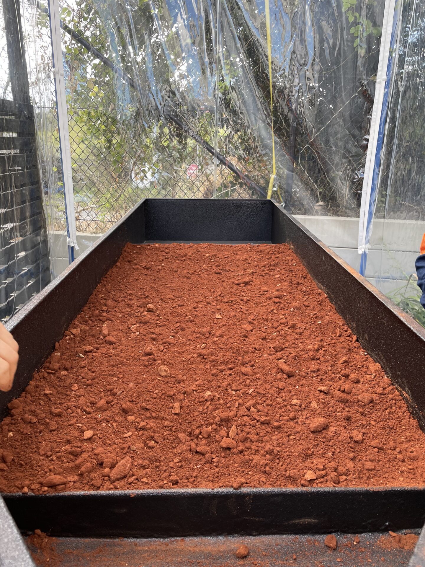
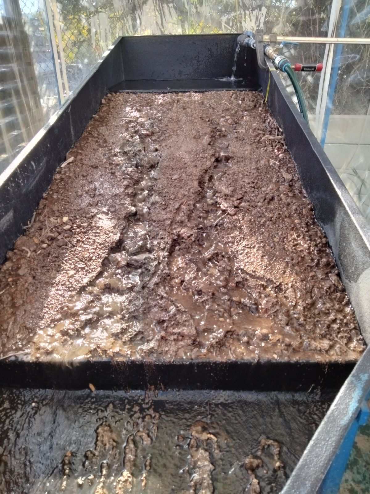
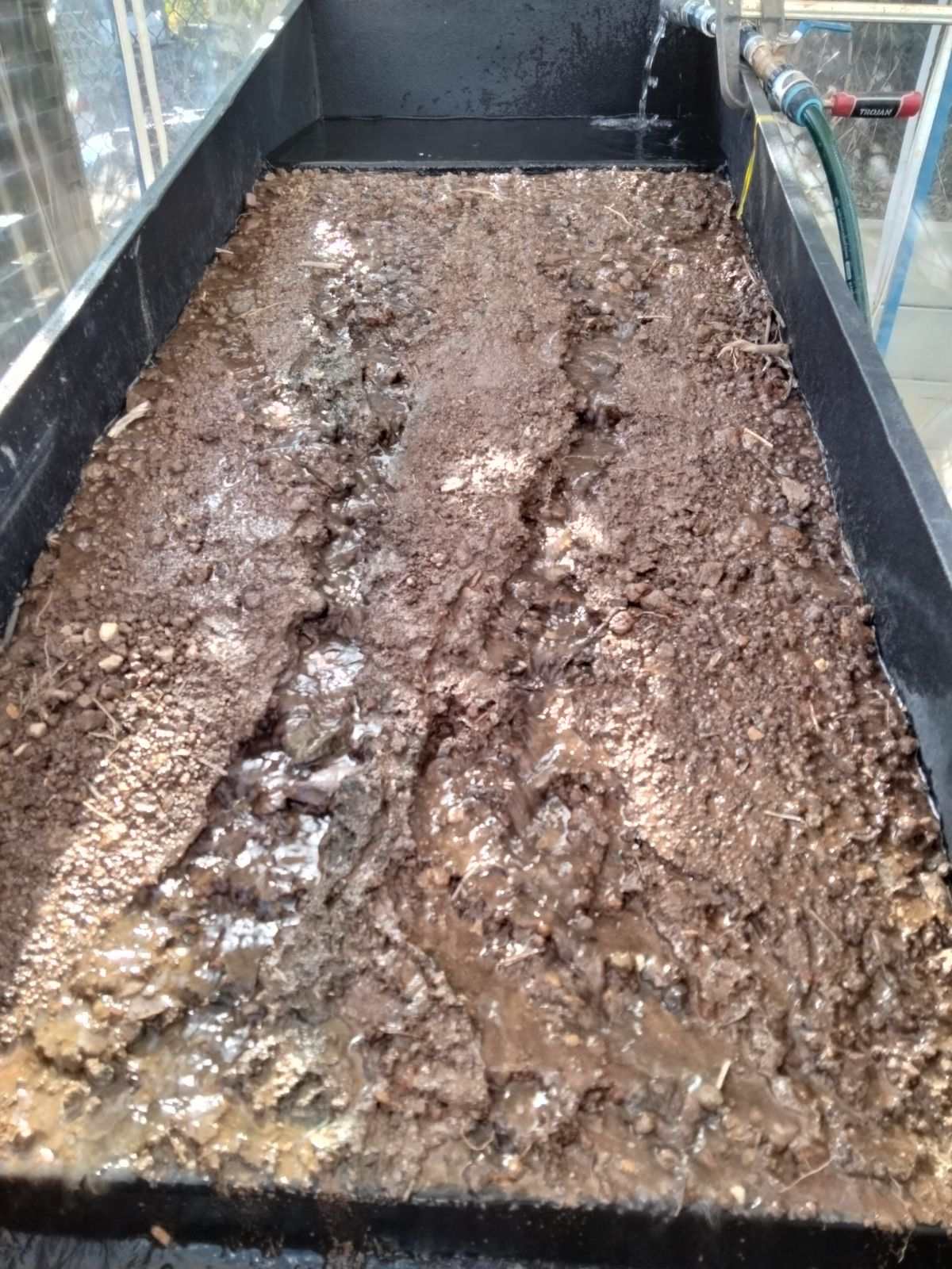
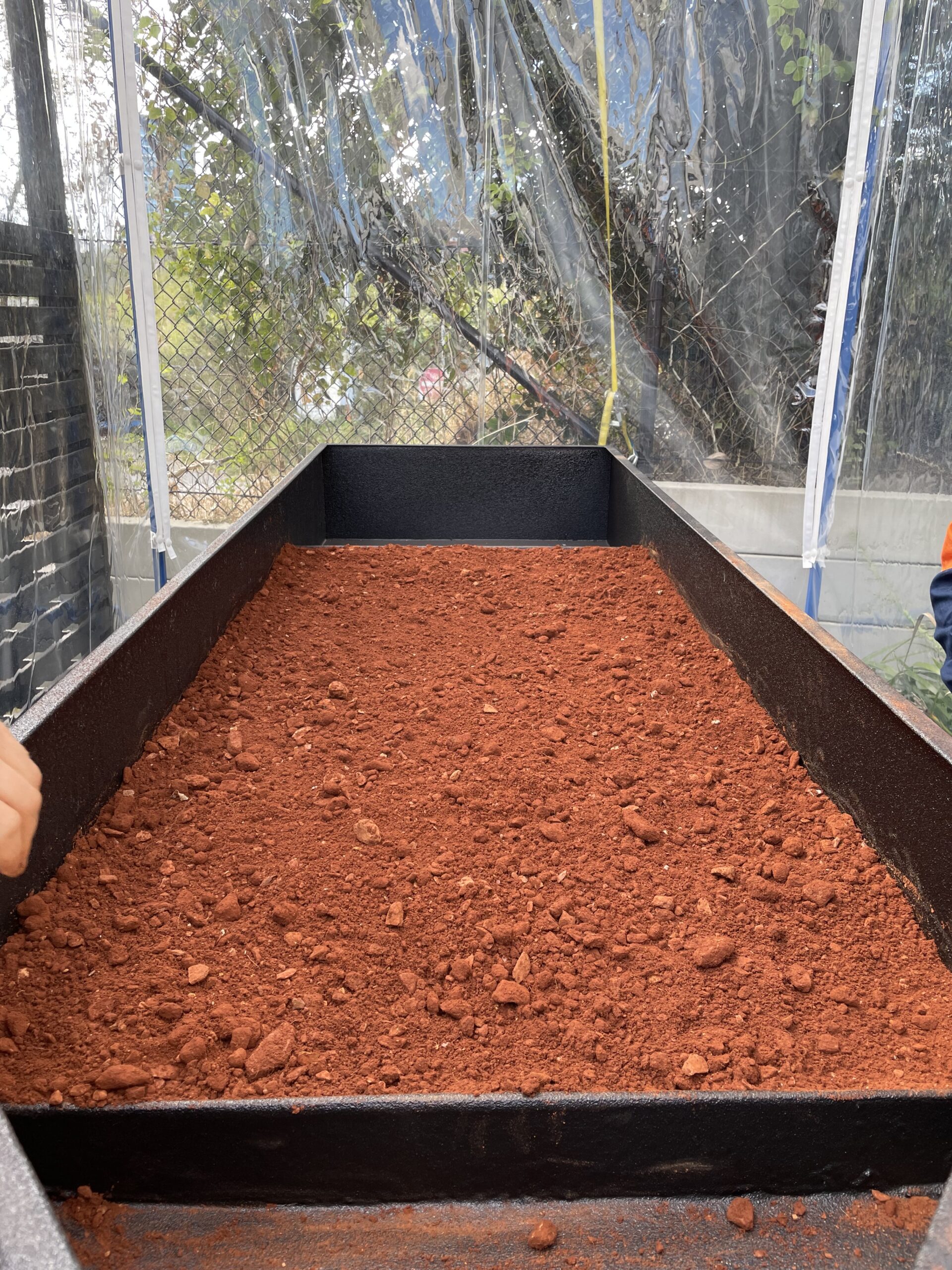
Rainfall and overland flow simulations conducted at SGME’s laboratory were instrumental in deriving erodibility parameters of materials with the potential to be used in establishing the final landform. These simulations accurately measured hydraulic conductivity, rill erodibility, interrill erodibility and critical shear stress, all of which are essential for calibrating the model made in Water Erosion Prediction Project (WEPP), a continuous simulation program developed by the United States Department of Agriculture’s Agricultural Research Service.
Following this, a calibrated WEPP model was used to assess potential erosion rates over a 100-year period for the rehabilitated landform using data from simulations and desktop sources. This resulted in SGME’s successful completion of an erosion assessment that evaluated the erosion risks of the final landform.
Our commitment to excellence in environmental services, especially in mined land rehabilitation, is reflected in our use of advanced techniques such as rainfall simulation and flume experiments. These methodologies ensure accurate data collection leading to precise predictions and tailored strategies for erosion management. By prioritising environmental sustainability, we help clients mitigate risks and achieve long-term stability in their landforms.