Background
SGME quantified the volume of potentially contaminating waste at an abandoned mine and designed an encapsulation cell for remediation. The mine is approximately (~) 36 kilometres (km) from Glen Innes in New South Wales (NSW). It operated from the mid-1880s to the mid-1950s and disturbed ~35 hectares (ha).
Objective
The government’s legacy mine program assists landholders with rehabilitating impacts of abandoned mines. The mine has undergone some remediation; however, there is evidence of continued contamination to the receiving environment from acid mine drainage. Given that the site was still contaminated with potentially acid-forming (PAF) waste, a remediation solution was required.
Solution
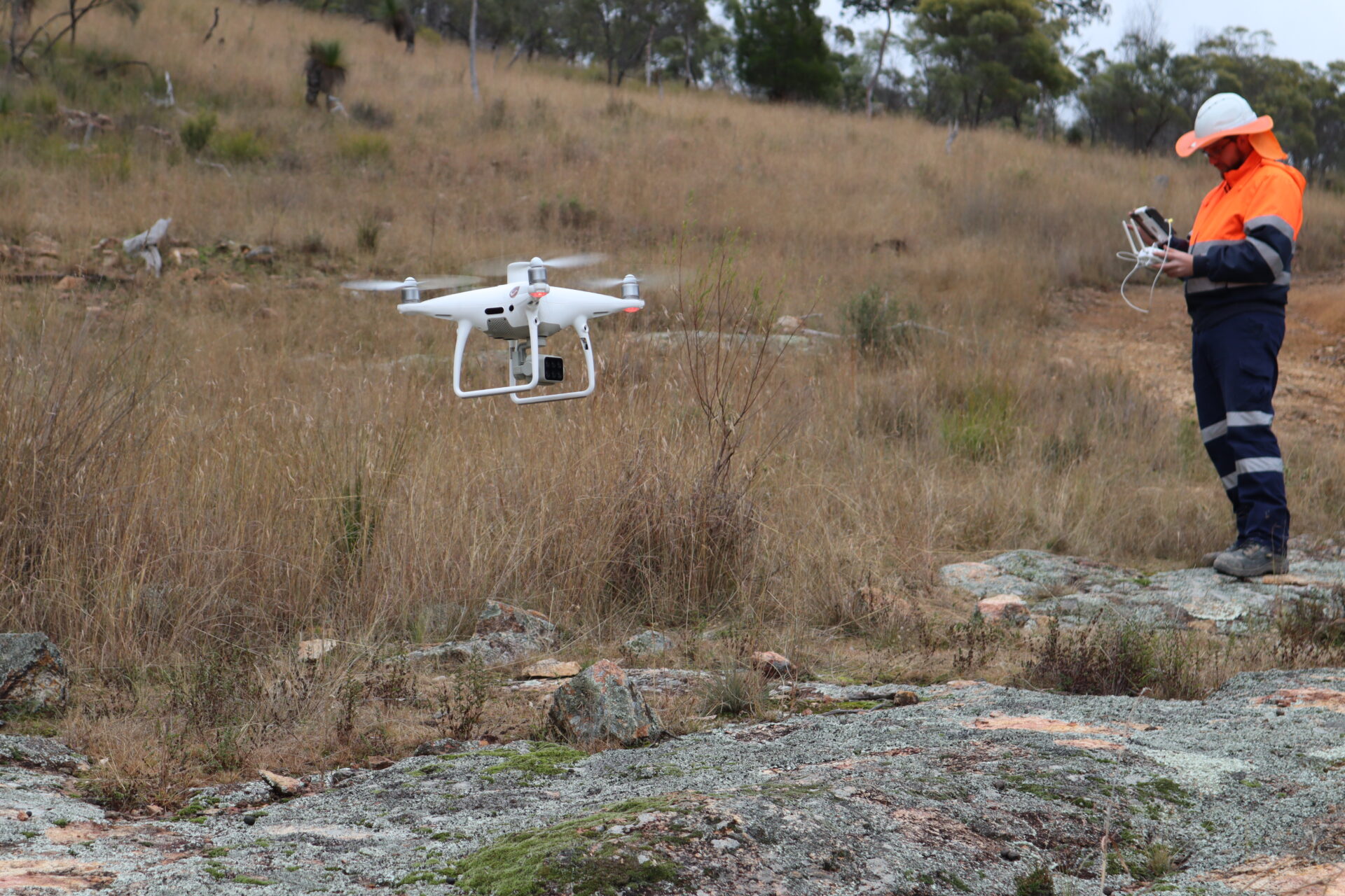
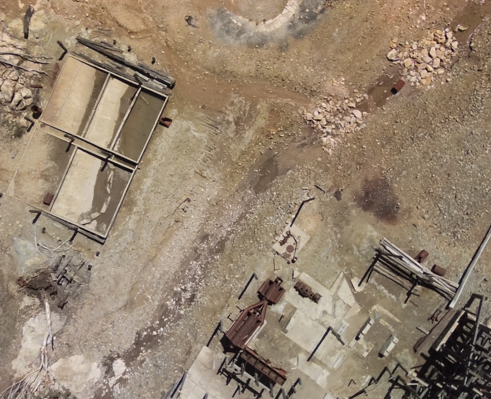
SGME conducted a PAF material quantity survey using cutting-edge technology including high-resolution digital elevation models created via drone-based data collection and advanced software analysis. This approach allowed us to determine topography and generate accurate three-dimensional (3D) representations of surface contamination at the abandoned mine.
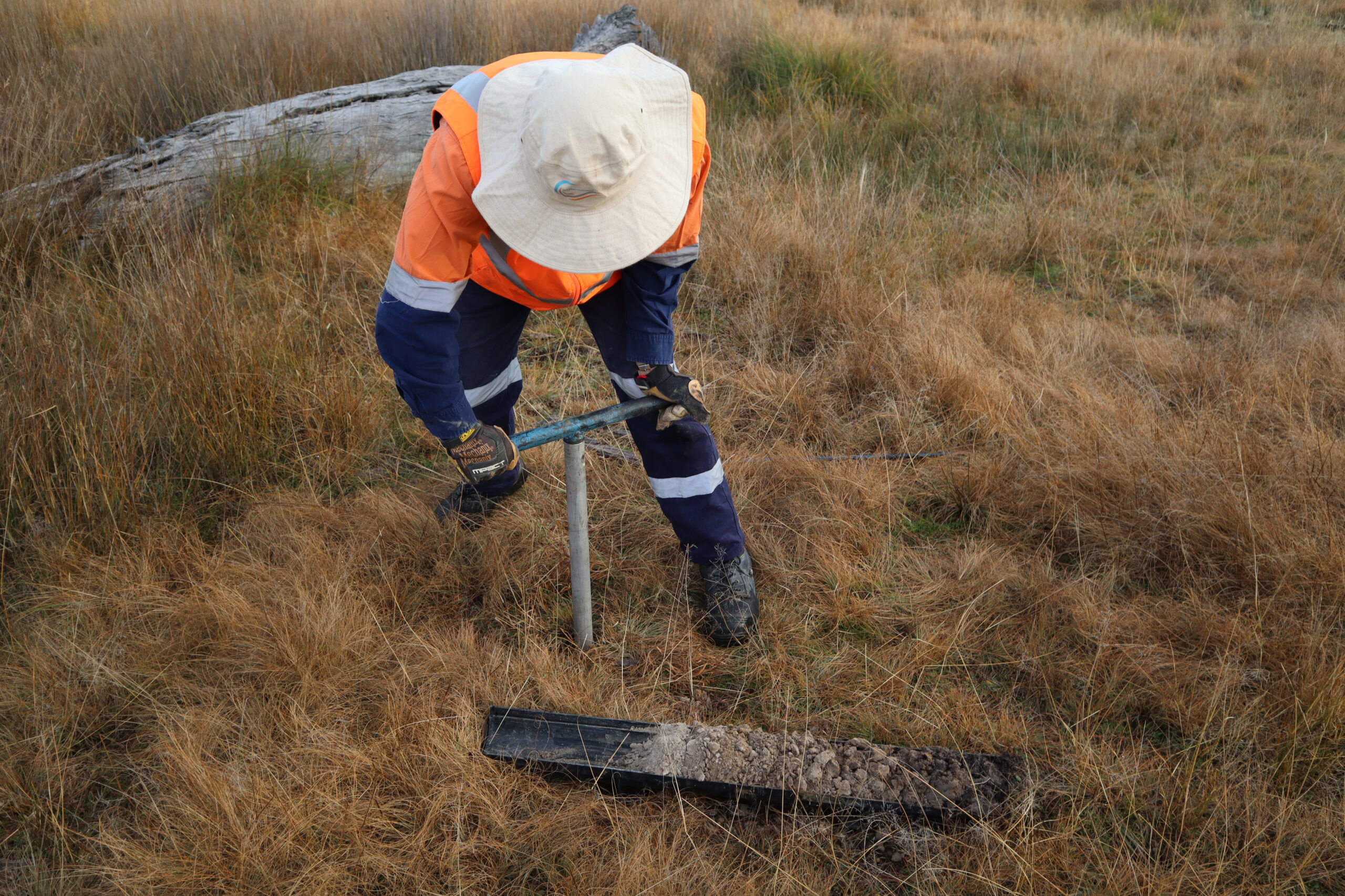
Using drones for the quantity survey increased its speed and precision which allowed for rapid coverage of vast areas and acquiring detailed data at high resolution. This streamlined approach significantly reduced the time and resources usually required for conventional survey. SGME used the digital elevation model to develop a targeted sampling program that was used to assess depth of contamination.
The digital elevation model was used in combination with contamination depth to estimate the volume of PAF material requiring management. In a second phase of the project, SGME designed an encapsulation cell for management of the PAF material. The encapsulation cell separates the PAF material from the environment to limit its future risk of releasing contamination.
SGME uses cutting-edge drone technology to enhance project outcomes. Our drones offer precise data for 3D modelling, terrain analysis and vegetation assessments which aid informed decision-making. With certified pilots ensuring safety and compliance, we provide reliable results. Our approach maximises efficiency and accuracy, optimises project performance and minimises risks.