Background
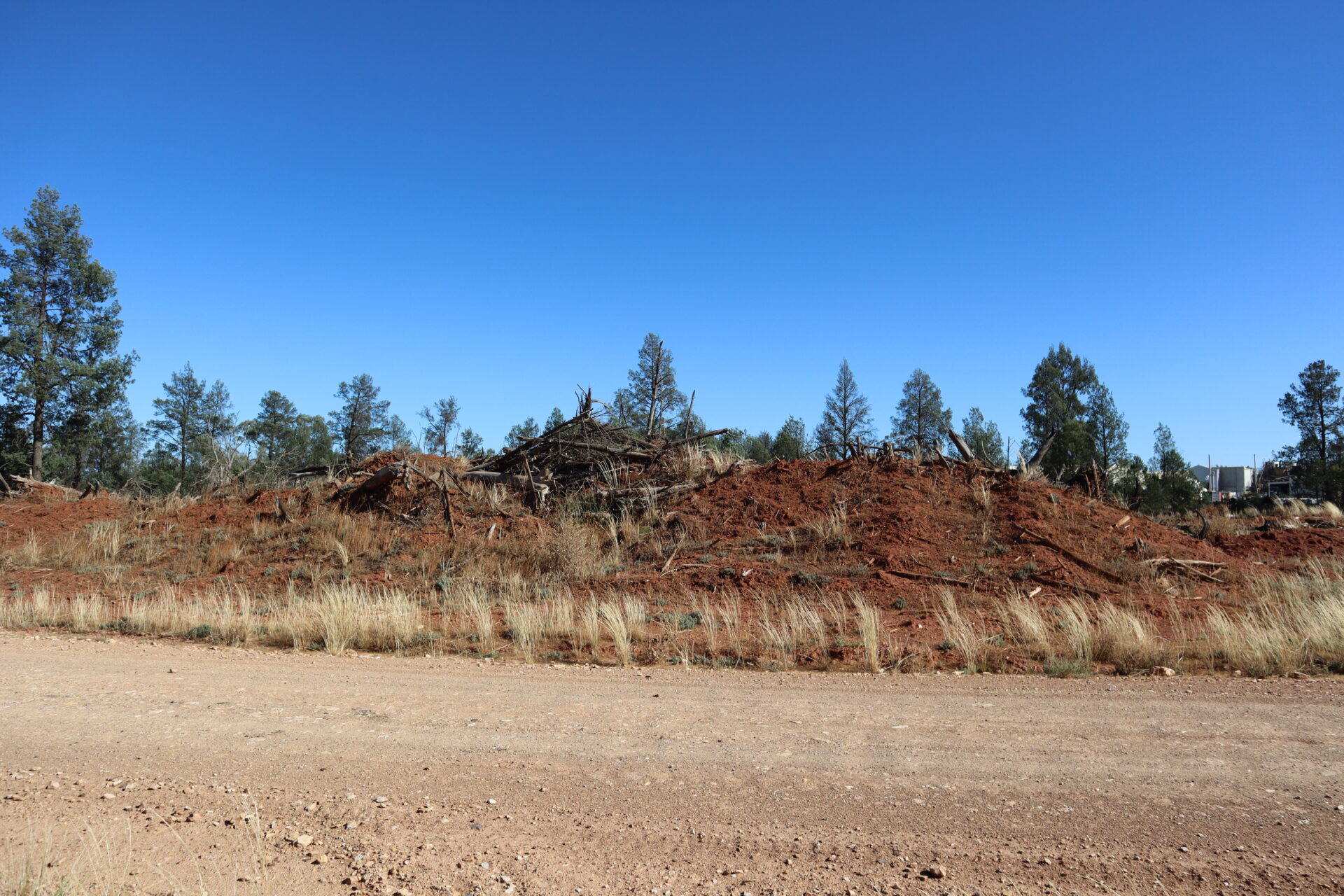
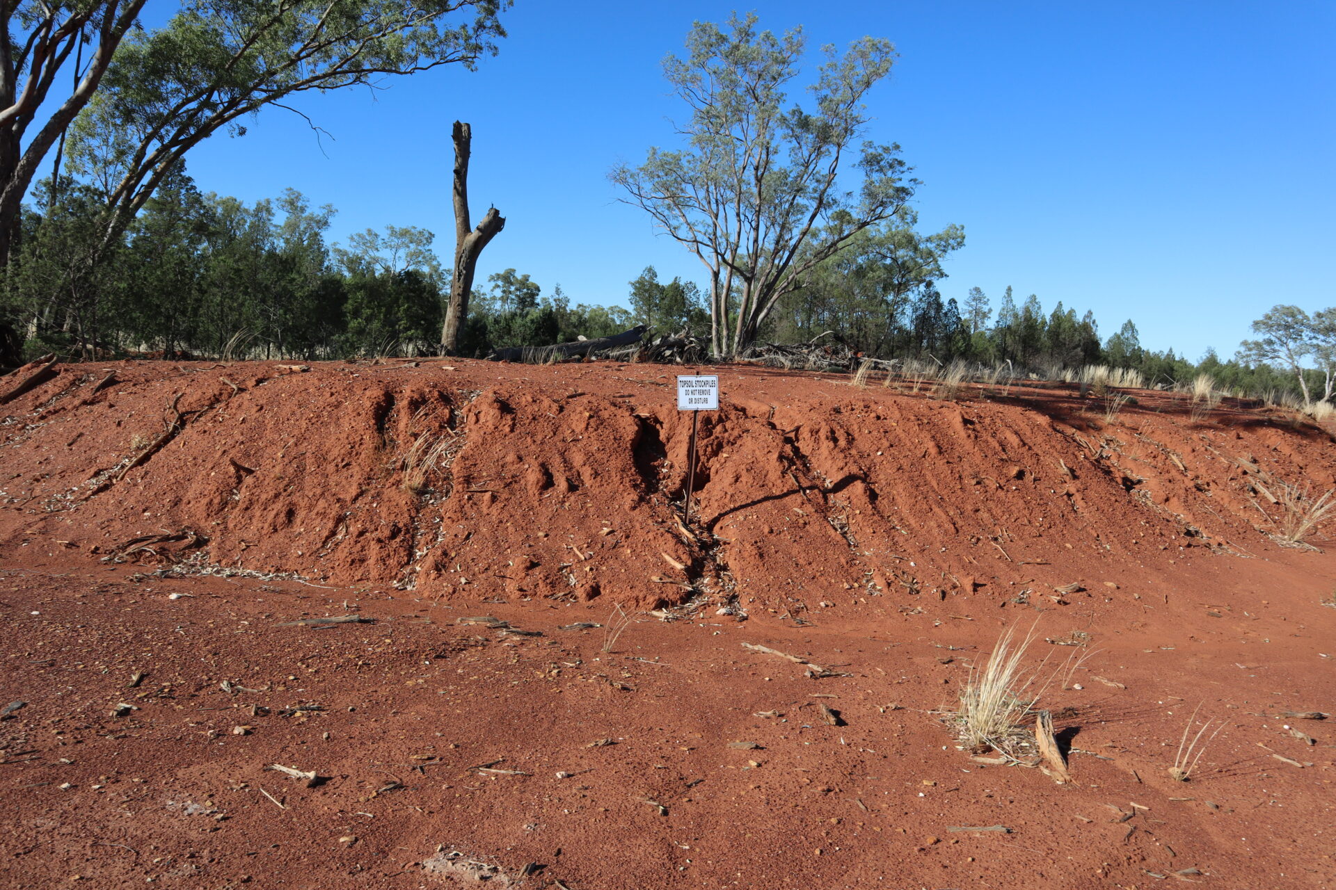
SGME created several high-resolution elevation models of soil stockpiles to accurately determine the volume of soil available for rehabilitation. The mine is located near the Weddin Mountains in New South Wales approximately (~) 379 kilometres west of Sydney and ~130 kilometres north-east of Dubbo.
Objective
Accurate soil quantity estimates are crucial for effective mine rehabilitation planning. These estimates enable resource allocation, effective environmental management decisions and adherence to regulatory compliance. Inadequate soil quantity estimates can lead to inefficient use of resources and compromised restoration efforts that will negatively impact the success of mine rehabilitation.
Solution
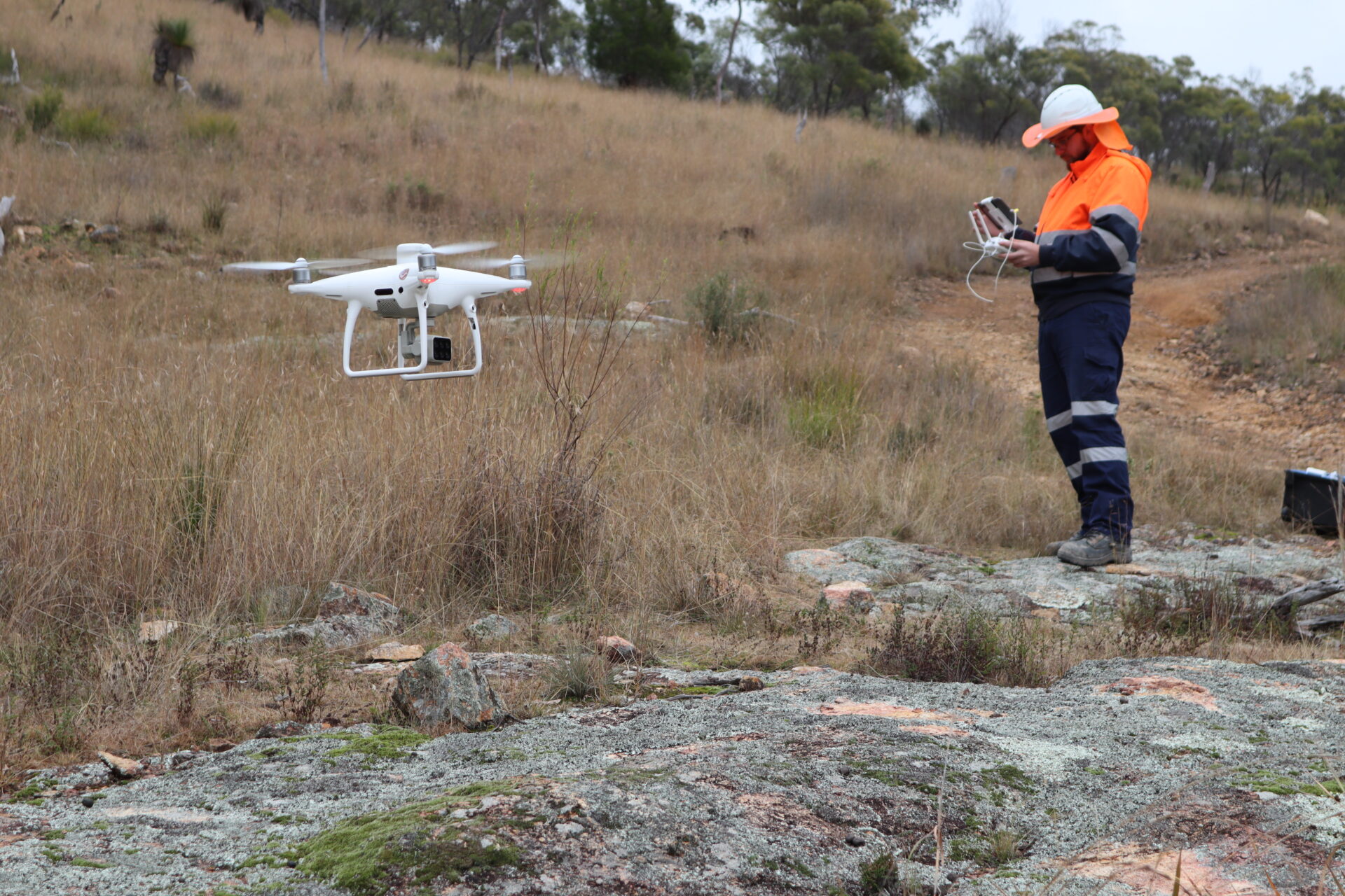
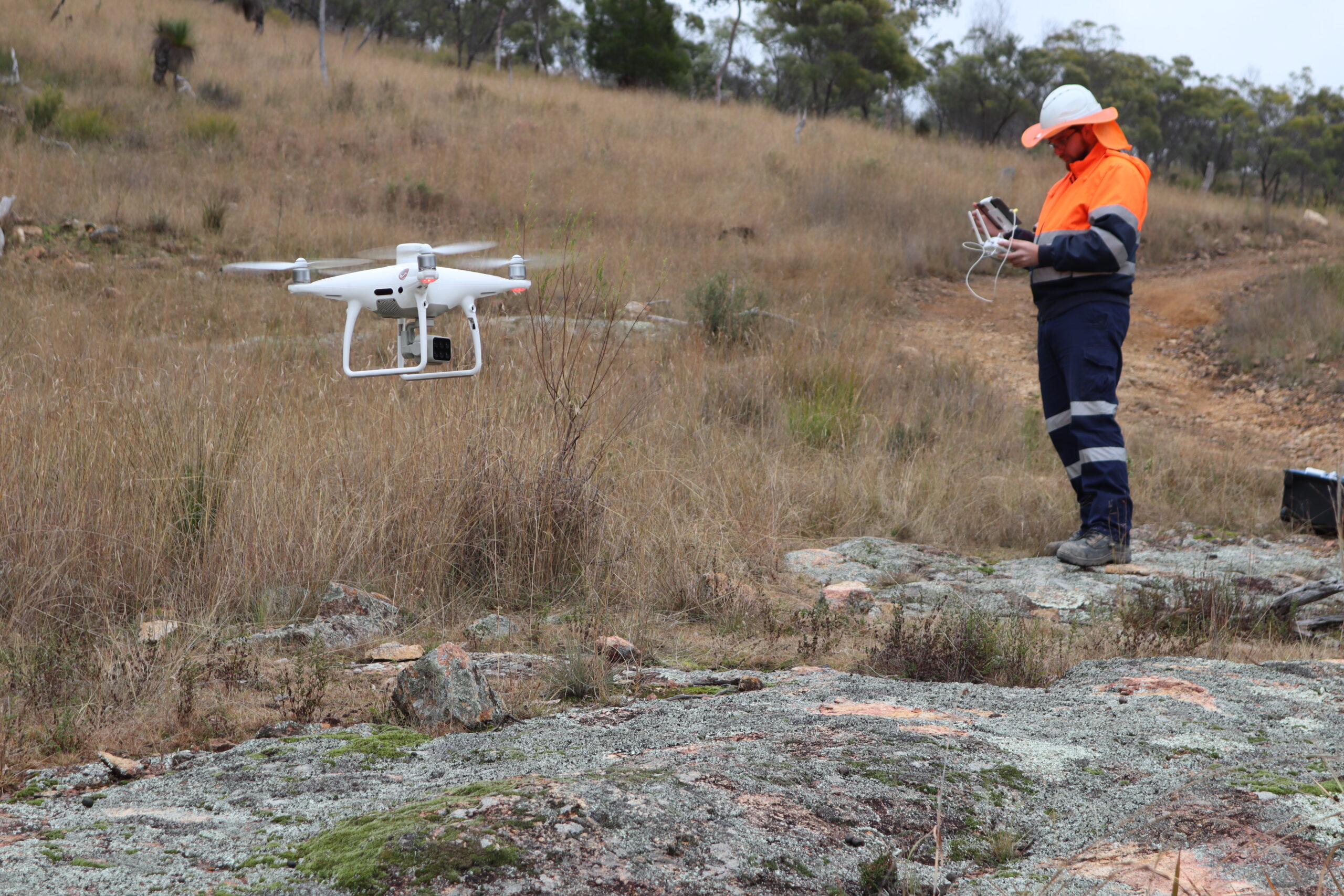
SGME conducted the soil quantity survey using cutting-edge technology including high-resolution digital elevation models created via drone-based data collection and advanced software analysis. This approach allowed us to determine topography and generate accurate three-dimensional (3D) representations of the surveyed stockpiles.
Our drone technology brought substantial value to the mine and increased speed and precision of the soil quantity survey, allowing rapid coverage of vast areas and resulting in detailed data at high resolution. This streamlined approach significantly reduced time and resources required for a conventional survey and provided a cost saving to our client. From accurate digital elevation models, the mine was able to obtain accurate soil volumes that allowed for ‘lost’ stockpiles. Our drone technology enabled heightened understanding of the available soil volumes, thus facilitating well-informed decisions on the most appropriate use of soil in rehabilitation. This allowed for enhancement of the mine’s environmental management strategy and optimisation of its resource allocation.
SGME uses cutting-edge drone technology to enhance project outcomes. Our drones offer precise data for 3D modelling, terrain analysis and vegetation assessments which aid informed decision-making. With certified pilots ensuring safety and compliance, we provide reliable results. Our approach maximises efficiency and accuracy, optimises project performance and minimises risks.