Background
SGME was engaged to prepare an Endangered Regional Ecosystem (ERE) validation to support an environmental licence application. The mine is located within the Southwestern Plateaus and Flood-outs sub-bioregion of the Northwest Highlands 140 kilometres north-west of Mt Isa.
Objective
The potential expansion area falls within a composite Regional Ecosystem (RE), with approximately 10% classified as Endangered Regional Ecosystem (ERE). To address concerns regarding the accuracy of Government mapping, an on-ground validation survey was required. The primary objective of this survey was to confirm whether the ERE indeed exists within the expansion area or if it is incorrectly classified and mapped.
Solution
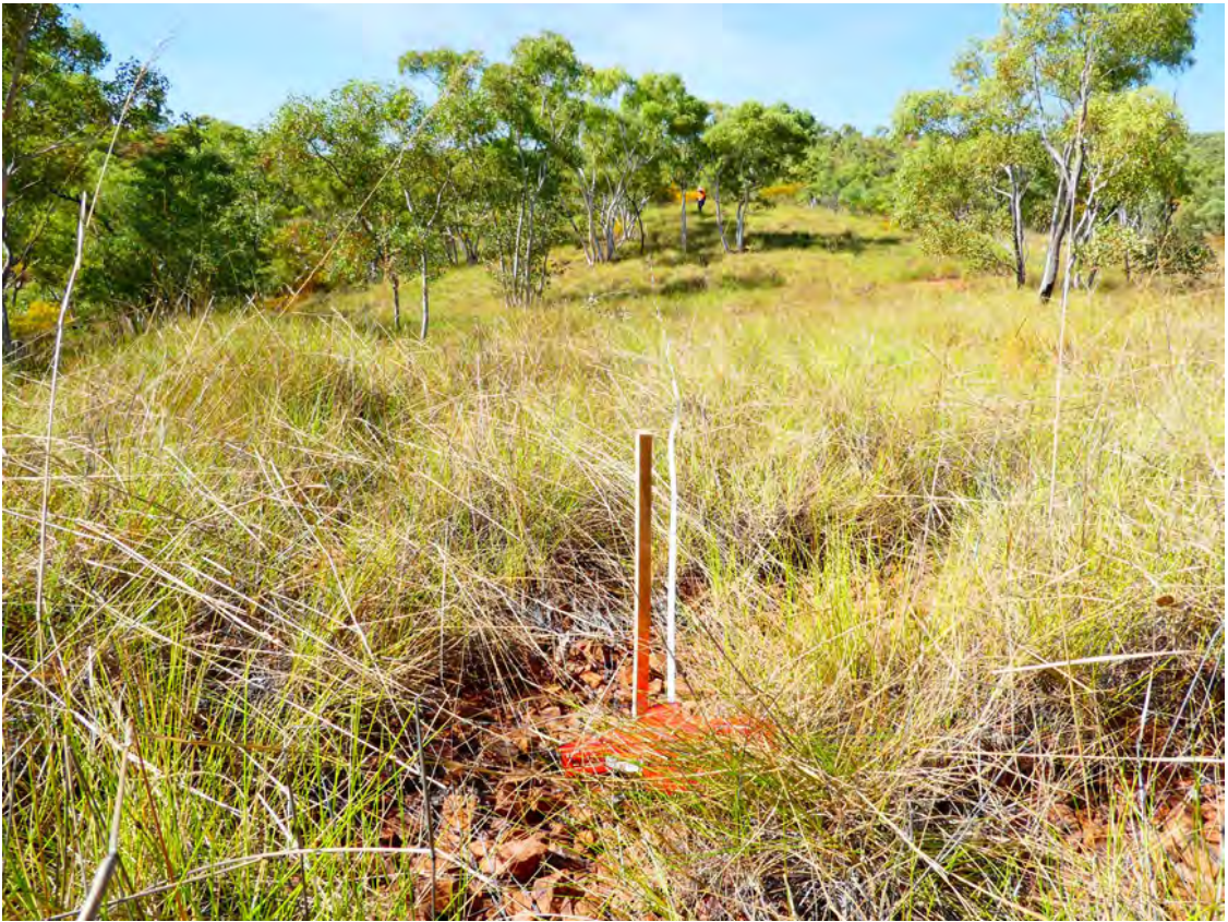
Fieldwork was performed by SGME to verify initial maps and gather observational data crucial for the ecological assessment. The survey strategy, for the initial phase, involved random sampling to capture environmental diversity of the expansion area. Additional sites were surveyed to provide detailed descriptions of the diverse Regional Ecosystems (REs) present in the expansion area. Quaternary sites were specifically used to confirm the accuracy of mapping of REs identified during the initial phase.
During fieldwork, SGME did three secondary surveys and 36 quaternary surveys. Collected data included detailed assessments of vegetation condition and the presence of declared and environmental weed species.
After the completion of field surveys, the desktop study, fieldwork, and subsequent data analysis were compiled into a report. This report provided a detailed overview of the ecological conditions, potential impacts, and mitigation measures required for the mine’s expansion plan and suggested inaccuracy in the Government’s ERE mapping.
In a second phase of the project the ERE mapping report was used to support an application to amend the environmental licence to allow further exploration within the potential expansion area.
Engaging SGME for ecological site surveys delivers outcomes for informed decision-making and environmental stewardship. Our approach starts with a baseline assessment, examining biodiversity, soil quality, and hydrology to identify rare or endangered species requiring conservation. Our comprehensive approach includes in-depth vegetation and fauna analysis, uncovering crucial insights into ecosystem health. Evaluating ecosystem services and sensitivities reveals hidden potentials and risks, guiding sustainable development. Our actionable recommendations steer impactful mitigation measures and sustainable practices.
