Background
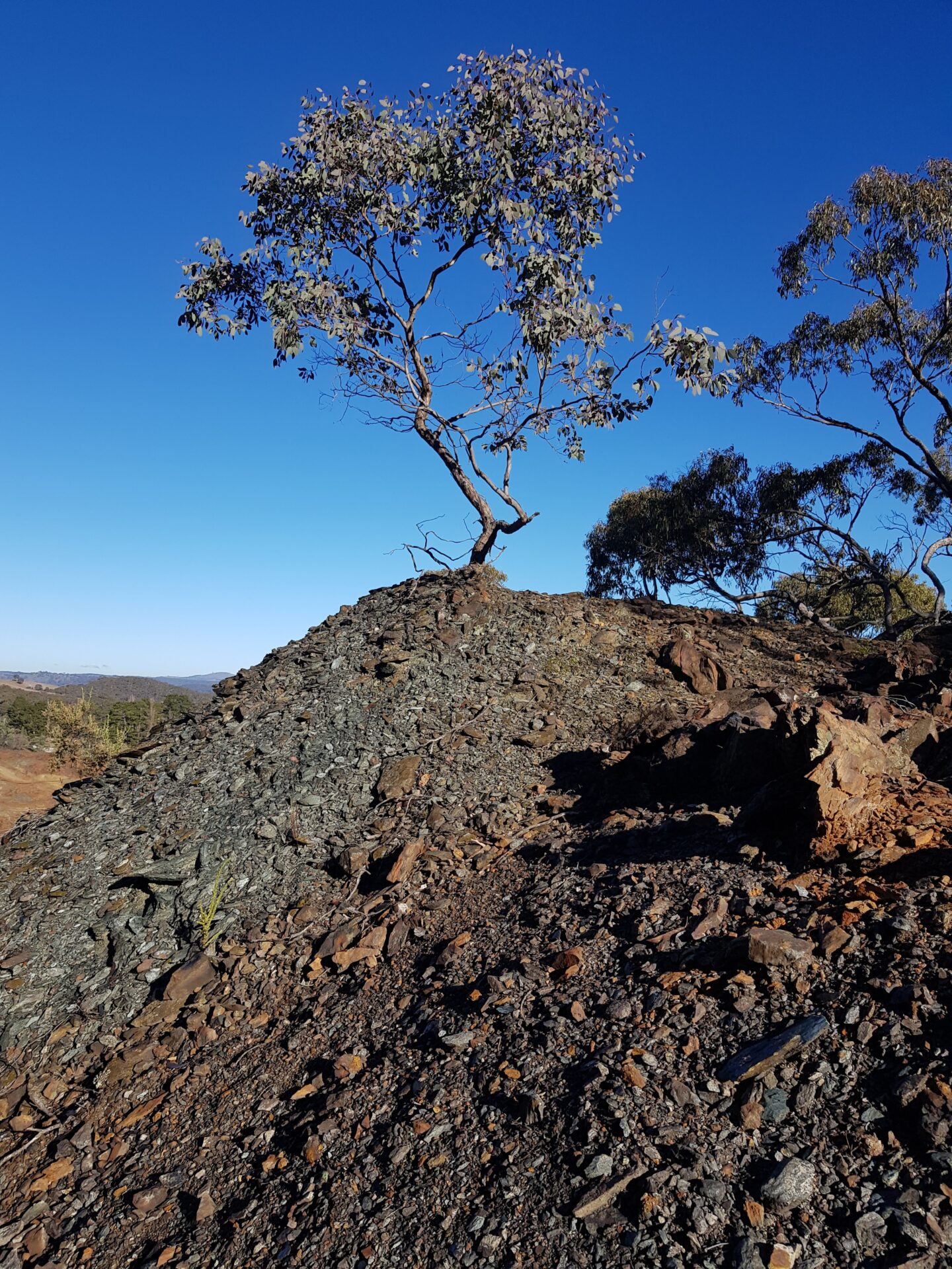
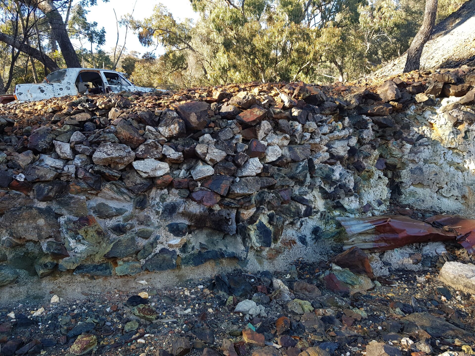
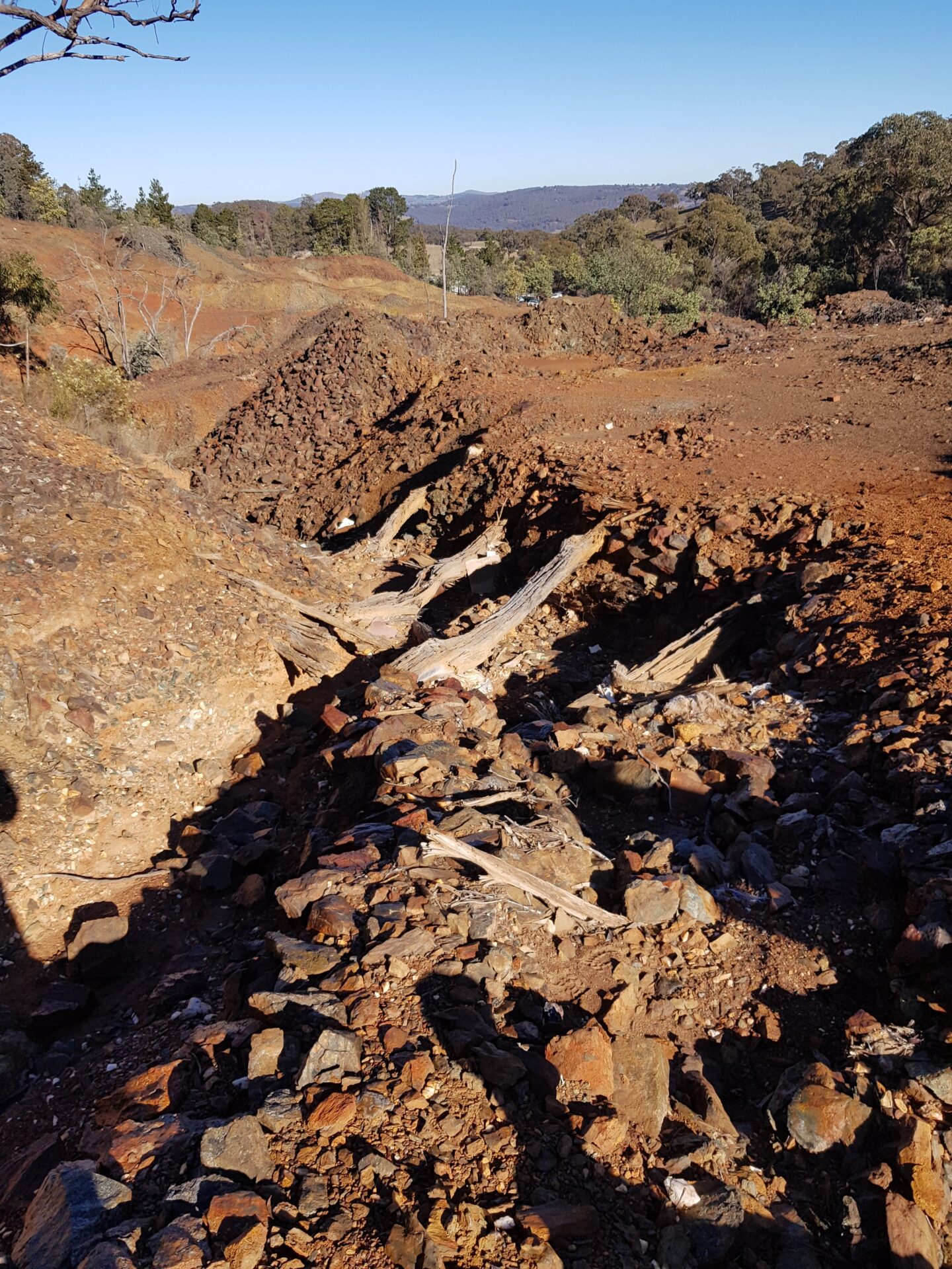
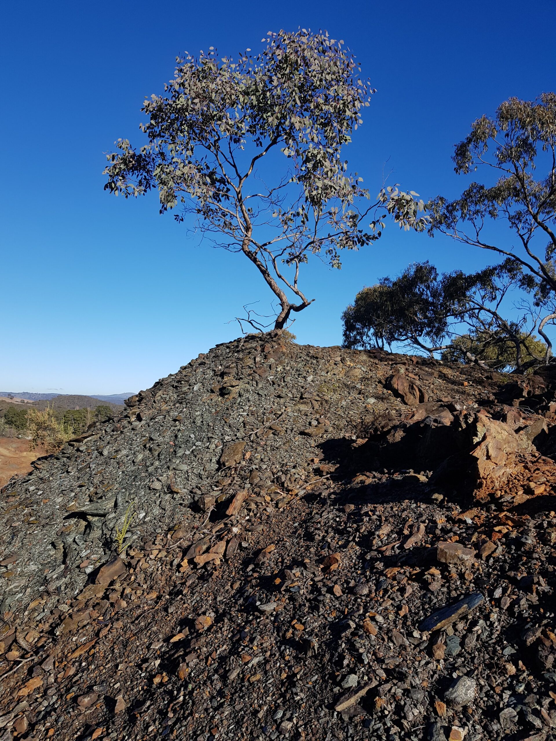
The legacy mine is located approximately (~) 17 kilometres (km) south of Bathurst and ~150 km west of Sydney. It operated between 1872 and 1900 and has not been rehabilitated. During operation, the mine disturbed 5.56 hectares of land. A creek separates the mine into two sections (northern domain and southern domain) and has confluence with a drainage line which runs from the north. The mine also has several sediment basins, waste rock dumps, landfills and backfilled open shafts.
Objective
The government is responsible for rehabilitating legacy mines. It has potentially acid forming (PAF) waste rock across the disturbance area, extensive gully erosion and unstable landforms which interrupt water flow.
Solution
SGME conducted a site investigation and developed a remediation action strategy to support our remediation action plan, detailed design drawings and construction drawings. The remediation strategy included the following components:
• removal of PAF waste rock and disposal into shafts / adits;
• excess PAF waste rock being stored in a new waste rock dump;
• contour deep ripping of calcite across areas requiring PAF waste rock removal;
• surface water works (including management of excess cut); and
• hydromulching all areas requiring PAF waste rock removal.
SGME’s approach to mine closure planning focuses on dynamic adaptation, accuracy and relevance throughout the mine’s life cycle. We prioritise strategic evolution planning, active stakeholder engagement and a commitment to sustainable development. By collaborating with stakeholders, integrating leading practices and leveraging advanced technologies, we empower clients to implement responsible closure practices and create enduring value beyond closure.