Introduction
Soil erosion is a natural process significantly accelerated by human activities such as mining. Understanding and quantifying erosion rates is crucial for developing effective land management strategies, designing stable landforms, and predicting environmental impacts. However, erosion is a complex process driven by interactions between rainfall, runoff, soil properties, topography, and vegetation cover, occurring across a vast range of spatial and temporal scales. The scale at which erosion is observed and measured influences results and their applicability. This white paper explores the importance of considering scale in erosion assessment by comparing common methods used at laboratory, local-, and macro-field scales.
Laboratory Scale: Controlled Process Studies
Laboratory-based methods offer highly controlled environments to investigate specific erosion mechanisms in isolation.
Rainfall simulators: These devices apply artificial rainfall with controlled intensity, duration, and drop size distribution onto small plots or trays. They are invaluable for studying splash erosion, infiltration, runoff, and interrill erosion under precisely defined conditions. Slope angle, soil type, antecedent moisture, and surface cover can be systematically varied to understand their fundamental influence on erosion processes.
Overland flow flumes: Flumes are channels where water flow is introduced at a controlled rate over a prepared bed. They are primarily used to study rill erosion, sediment transport capacity of shallow flows, and effects of flow hydraulics on soil detachment and movement.
Advantages:
- High degree of control over variables.
- Ability to isolate and study specific erosion processes (eg splash versus sheet flow).
- Repeatability of experiments.
- Cost-effective for testing numerous scenarios.
Limitations:
- Scale effects: Results from small plots (often less than 1 m²) may not accurately represent field conditions due to edge effects, limited slope lengths, and the inability to capture complex topography or preferential flow paths. Extrapolating lab rates to field scales is often problematic.
- Representativeness: Disturbed samples used in labs may not reflect structure, heterogeneity, or biological activity of in-situ conditions. Development of surface seals, crusts, or rills may differ significantly from natural conditions.
- Limited process interaction: It is difficult to replicate complex interplay between rainfall, overland flow, subsurface flow, and vegetation that occurs in undisturbed conditions.
Local Field Scale: Targeted Monitoring
Local field scale assessments focus on specific landscape units or features, such as individual hillslopes, gullies, or experimental plots, typically ranging from meters to tens of meters. One such technique is stereo photography.
High-resolution digital stereo-photogrammetry offers a powerful, non-invasive method for monitoring specific erosion features like gullies. By establishing a baseline and taking overlapping photographs from known positions, 3D models of features can be generated using software like 3D Mapper and Surfer. Comparing models created over time allows for precise quantification of volumetric changes (erosion or deposition) within the targeted feature. This approach avoids disturbance associated with traditional methods like erosion pins or bounded plots with collection troughs. Close-up photos can also estimate surface particle size distribution.
Advantages:
- High spatial resolution for detailed feature analysis.
- Non-invasive, reducing disturbance to monitoring site.
- Provides direct volumetric measurements of change for specific features.
- Can be linked to specific events or periods.
Limitations:
- Limited spatial coverage, with a focus on specific points or small areas, not the entire landform.
- May not capture broader, diffuse erosion processes (eg sheetwash) between monitored features.
- Effectiveness can be hindered by vegetation obscuring the ground surface, potentially requiring the selection of new monitoring sites if nominated areas become heavily vegetated.
- Provides data on maximum or point source erosion, which may differ significantly from the average erosion rate across a larger area.
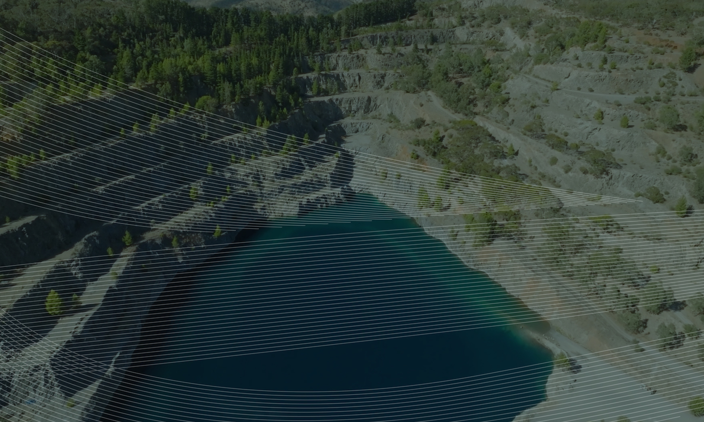
Macro Field Scale: Landscape-Level Assessment
Macro field scale studies aim to quantify erosion over larger areas, such as entire waste rock dumps, tailings storage facilites, catchments, or regional landscapes, often spanning hundreds of meters to kilometres.
LiDAR (Light Detection and Ranging), often conducted via aerial platforms (planes or drones), capture high-resolution topographic data over extensive areas. By comparing LiDAR-derived digital elevation models (DEMs) acquired at different times, changes in landform elevation can be quantified. Processing involves co-registration of DEMs and subtraction to identify areas of erosion (negative elevation change) and deposition (positive elevation change). Integrating these changes over the area allows for the calculation of total eroded/deposited volumes and average erosion rates (eg tonnes/hectare/year) for representative sections or entire landforms, carefully excluding areas affected by non-erosional processes like settlement.
Vegetation mapping, from satellites or drones is used to map vegetation cover percentages across the landscape. This data is critical because vegetation significantly influences erosion rates by intercepting rainfall, reducing runoff velocity, and stabilising the ground surface. Groundcover percentages derived from imagery can be incorporated into erosion prediction models (eg WEPP, LEMs) to simulate landform evolution under different vegetation scenarios.
Advantages:
- Provides spatially extensive coverage, capturing landscape-scale patterns.
- Allows calculation of average erosion rates over large, representative areas.
- Integrates the effects of various processes occurring across the landform.
- LiDAR can penetrate vegetation cover (depending on density).
- Vegetation mapping provides crucial input for modelling and understanding spatial variability.
Limitations:
- Can be lower spatial resolution compared to local methods like stereo photography; may not resolve very small features or subtle changes.
- DEM differencing can be sensitive to co-registration errors and noise in the data.
- Can be expensive, especially for frequent repeat surveys.
- Attributing elevation changes solely to erosion requires careful analysis to exclude other factors (eg consolidation, subsidence).
- Provides an average rate, potentially masking localised erosion hotspots.
The Importance of Scale Integration
The comparison above highlights that no single scale of observation provides a complete picture of erosion. Laboratory studies are essential for understanding fundamental processes but cannot directly predict field-scale rates. Local field studies like stereo photography excel at quantifying erosion in specific, often high-activity, features like gullies but miss the broader context. Macro field studies using LiDAR and vegetation mapping provide average rates and landscape context but may lack detail on specific processes or hotspots.
Erosion rates are often scale-dependent. Processes dominant at one scale may be less significant at another. For instance, splash erosion might be dominant on small lab plots, while gully formation becomes critical at the local field scale, and overall landscape evolution is captured at the macro scale. Relying solely on data from one scale can lead to inaccurate assessments and ineffective management decisions. For example, designing erosion control structures based only on average landscape rates from LiDAR might fail to address critical gully erosion identified through stereo photography. Conversely, extrapolating high gully erosion rates across an entire landscape would overestimate total sediment yield.
A comprehensive understanding requires integrating observations across multiple scales. Laboratory findings can inform process understanding in models, local monitoring can validate model predictions for specific features and identify high-risk areas, and macro-scale assessments provide the overall context, average rates for large areas, and essential data (topography, vegetation) for landscape evolution modelling. An industry example demonstrating this integrated approach comes from SGME, who have assessed long-term stability of mine tailings storage facility covers. They utilised laboratory rainfall simulation (lab scale) to determine material erodibility parameters, which then informed 2D hillslope erosion modelling (WEPP, representing local scale processes on specific slopes). The outputs from WEPP were subsequently used to calibrate a 3D landscape evolution model (LAPSUS, macro scale) simulating the entire landform over centuries. This multi-scale modelling approach revealed that while average erosion rates suggested stability over 100 years, localised gullying was predicted to breach the covers within that timeframe, highlighting the importance of landform design and flow paths over just cover thickness – insights crucial for effective rehabilitation planning. Linking average landform erosion rates (from LiDAR) and maximum point source erosion (from stereo photography) to factors like ground cover and rainfall, is key to building this integrated understanding.
Conclusion
The scale of observation is a fundamental consideration in erosion assessment. Laboratory, local field, and macro field scale methods each offer unique advantages and limitations, capturing different facets of the erosion process. Rainfall simulators and flumes provide control for process studies, stereo photography offers high-resolution monitoring of specific features, and LiDAR combined with vegetation mapping allows for landscape-scale quantification of average erosion rates. Recognising the scale-dependency of erosion processes and rates is paramount. An integrated, multi-scale approach, leveraging the strengths of different methodologies, as demonstrated by SGME’s work combining lab tests with 2D and 3D modelling, is essential for accurate erosion prediction, effective landform design and rehabilitation, and the development of robust, site-specific management and closure criteria.